
Environmental Destination
Weaver Gowy
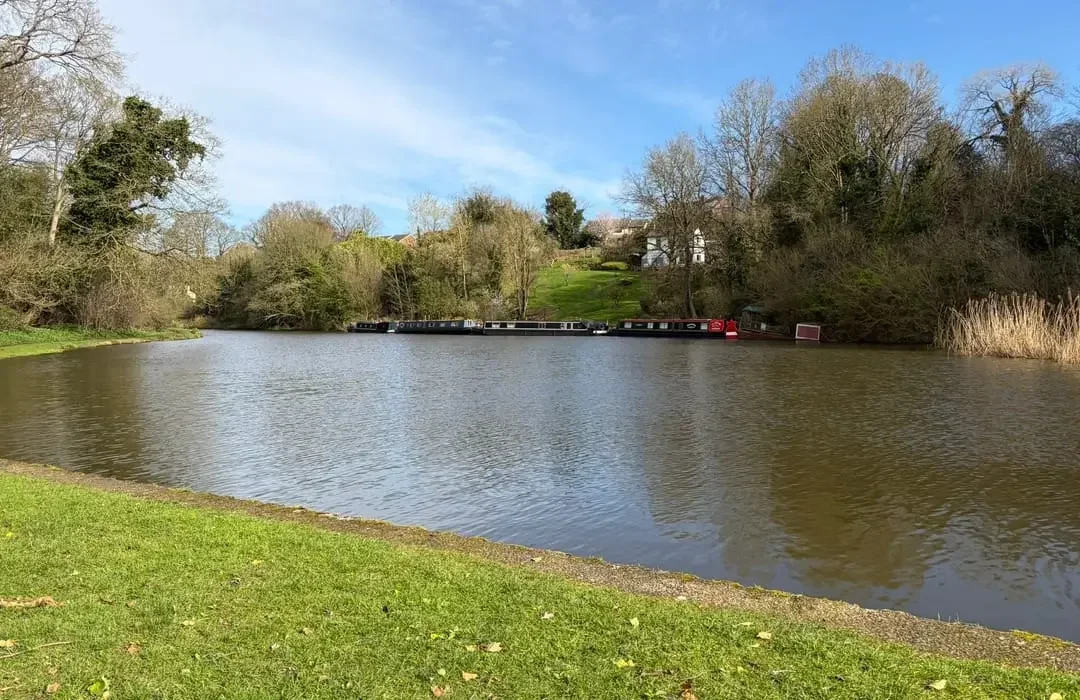
The Weaver and Gowy management catchment stretches from Ellesmere Port on the Mersey estuary down to the outskirts of Stoke‑on‑Trent, covering much of Cheshire East and Cheshire West and Chester. The landscape is mostly low‑lying and shaped by rivers, wetlands and farmland. While the area is largely rural, there is significant industrial activity around Runcorn and Ellesmere Port, and the catchment is well known for its historic and active salt mining operations.
The Rivers Weaver and Gowy, along with others such as the Dane and Wheelock, form the backbone of the catchment. These waterways support important habitats for coarse fish and some of the region’s largest eel populations, making the area highly valued by conservation groups and anglers. The catchment includes numerous surface water bodies, and a rich collection of designated nature sites, including SSSIs (Sites of Special Scientific Interest), SACs (Special Areas of Conservation) and SPAs (Special Protected Areas) and Ramsar wetlands.
For our Environmental Destination (ED) programme, we are focusing on a specific “area of interest” within the catchment, relevant to our abstractions. Our focus is those surface water bodies where the public water supply companies actively abstract water and their groundwater abstraction impacts on flow to surface waterbodies. Severn Trent’s investigation will be focussing on the operational catchments of the Weaver Upper and the Gowy and United Utilities will be focussing on the Dane operational catchment.
Please note when looking for data on this catchment in the Environment Agency resources the catchment is often listed as the Weaver and Dane, the Weaver and Dane covers a similar but slightly different geographic extent, we will note any differences that this makes to data where this is applicable.
You can find out some more information on this catchment in Water Means Business: water resources, sustainability and growth in the Weaver-Gowy catchment.
Thank you for your help!
Thank you to everyone who contributed to the Idle and Torne & Lower Trent and Erewash workshop held on 1 July 2026 at Huxley Village Hall Village Hall. Your local knowledge, practical experience, and on‑the‑ground perspectives were invaluable in helping us build a more informed and accurate understanding of the catchment.
Once we have incorporated all of your insightful feedback we will play this back to you in the Autumn.
Dee and Weaver Gowy workshop slides
Dee and Weaver Gowy appendices (priority catchments)
What are our objectives and investigations?
Understand what river flow targets and changes to water abstraction may be needed to support a healthy water environment in the Weaver Gowy.
Check how well the Environment Agency’s national modelling reflects local conditions. You can view their modelling in the Modelled Abstraction Reductions – National Framework for Water Resources 2025.
Compare the national modelling with improved local data to make sure we’re getting an accurate picture of the catchment and its needs.
Explore options to improve and protect river flows, including reducing our own abstractions where necessary. We’ll also look for opportunities to work with local partners and develop Nature‑Based Solutions (NBS) that strengthen the catchment’s resilience.
Use the evidence gathered to build confidence in any future abstraction changes, helping us prioritise actions and plan a realistic timeline for making improvements.
Feed into the development of our regional plan and our member’s Water Resources Management Plans (WRMPs), which outlines how we will meet long‑term challenges such as population growth, drought, environmental pressures and climate change, while ensuring a reliable water supply. The plan is being developed alongside the Water Resources West Regional Plan, which sets out how all abstractors in the region will work together to secure water supplies over the next 60 years. The first plan was published in June 2025 and is available here: Water Resources West Final Regional Plan — Water Resources West.
We would like to hear from you
Please complete the contact form below, letting us know things like: Do you want to partner with Nature Based Solutions? Are you already working on something in your area? Do you have any evidence of the catchment that you would like to share? Can you let us know the grid reference of the location you are referring to? What is your interest in the catchment? Do you have any thoughts you would like to share on our investigations?
If you would like to know a bit more about the data we are using for these investigations, below are the data sources we have used:
EA catchment data explorer: England | Catchment Data Explorer
Provides data used by EA in River Basin Management Plans
EA Environmental Destination Catchment Summaries: Catchment Summaries | Environmental Destination - Get involved! | Engage Environment Agency
Information to help understand the water resources challenge in local catchments
Modelled Abstraction Reductions - National Framework for Water Resources 2025: Modelled Abstraction Reductions - National Framework for Water Resources 2025
A spreadsheet showing a range of potential reductions to abstraction licence quantities which may be needed to meet environmental flow requirements