
Environmental Destination
Staffordshire Trent Valley
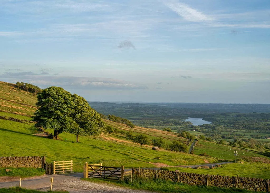
The Staffordshire Trent Valley management catchment extends from the northern edge of Stoke‑on‑Trent down to the areas surrounding Lichfield and Wolverhampton in the south, covering a diverse mix of urban and rural landscapes. It includes major urban centres such as Stoke‑on‑Trent and Newcastle‑under‑Lyme, as well as farmland, woodland and more sparsely populated countryside. The catchment encompasses the River Trent and its tributaries from their headwaters north of Stoke‑on‑Trent to the confluence with the River Tame near Alrewas. The Trent and Mersey Canal runs along much of the river’s course, briefly connecting directly with the Trent at Alrewas, while other historic canal routes, including the Staffordshire & Worcester Canal and the Shropshire Union Canal, cross the landscape.
The catchment is shaped by a number of important natural and cultural assets. To the south lies Cannock Chase National Landscape (formerly AONB), while the eastern edge forms part of the National Forest, a major woodland restoration initiative combining ancient woodland with new planting. The River Swarbourn flows through the National Forest before meeting the Trent at Wychnor. Further downstream, the river is impounded at Blithfield Reservoir. Across the lower catchment, urban areas sit alongside arable and pastoral farmland. Overall, the area’s numerous waterbodies are supported by a rich ecological network including SSSIs, SACs and a Ramsar site.
For our Environmental Destination (ED) programme, we are focusing on a specific “area of interest” within the catchment, relevant to water company abstractions. Our focus is those surface water bodies where the public water supply companies actively abstract water or where their groundwater abstraction impacts on flow to surface waterbodies.
Please note the correct WFD management catchment name for this catchment is ‘Trent Valley Staffordshire’, we are referring to it as the Staffordshire Trent Valley as this is how it is commonly referred to and this is the name used for the catchment by the Environment Agency.
Thank you for your help!
Thank you to everyone who contributed to the Staffordshire Trent Valley workshop held on 3 June 2026 at Barlaston Village Hall. Your local knowledge, practical experience, and on‑the‑ground perspectives were invaluable in helping us build a more informed and accurate understanding of the catchment.
Once we have incorporated all of your insightful feedback we will play this back to you in the Autumn.
Until then here are the slides that we shared at the workshop
Staffordshire Trent Valley Environmental Destination slides
Staffordshire Trent Valley Environmental Destination priority areas
What are our objectives and investigations?
Understand what river flow targets and changes to water abstraction may be needed to support a healthy water environment in the Staffordshire Trent Valley.
Check how well the Environment Agency’s national modelling reflects local conditions. You can view their modelling in the Modelled Abstraction Reductions – National Framework for Water Resources 2025.
Compare the national modelling with improved local data to make sure we’re getting an accurate picture of the catchment and its needs.
Explore options to improve and protect river flows, including reducing our own abstractions where necessary. We’ll also look for opportunities to work with local partners and develop Nature‑Based Solutions (NBS) that strengthen the catchment’s resilience.
Use the evidence gathered to build confidence in any future abstraction changes, helping us prioritise actions and plan a realistic timeline for making improvements.
Feed into the development of our regional plan and our member’s Water Resources Management Plans (WRMPs), which outlines how we will meet long‑term challenges such as population growth, drought, environmental pressures and climate change, while ensuring a reliable water supply. The plan is being developed alongside the Water Resources West Regional Plan, which sets out how all abstractors in the region will work together to secure water supplies over the next 60 years. The first plan was published in June 2025 and is available here: Water Resources West Final Regional Plan — Water Resources West.
We would like to hear from you
Please complete the contact form below, letting us know things like: Do you want to partner with Nature Based Solutions? Are you already working on something in your area? Do you have any evidence of the catchment that you would like to share? Can you let us know the grid reference of the location you are referring to? What is your interest in the catchment? Do you have any thoughts you would like to share on our investigations?
If you would like to know a bit more about the data we are using for these investigations, below are the data sources we have used:
EA catchment data explorer: England | Catchment Data Explorer
Provides data used by EA in River Basin Management Plans
EA Environmental Destination Catchment Summaries: Catchment Summaries | Environmental Destination - Get involved! | Engage Environment Agency
Information to help understand the water resources challenge in local catchments
Modelled Abstraction Reductions - National Framework for Water Resources 2025: Modelled Abstraction Reductions - National Framework for Water Resources 2025
A spreadsheet showing a range of potential reductions to abstraction licence quantities which may be needed to meet environmental flow requirements