
Environmental Destination
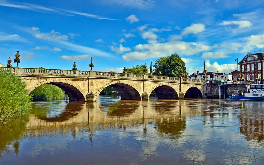
Shropshire Middle Severn
The Shropshire Middle Severn management catchment sits just east of the Welsh border and includes several important rivers and streams, such as the Perry, Roden, and Tern. For our Environmental Destination (ED) programme, we are focusing on a specific “area of interest” within the catchment, relevant to water company abstractions. Our focus is those surface water bodies where the public water supply companies actively abstract water or where their groundwater abstraction impacts on flow to surface waterbodies.
Our study area comprises numerous surface water bodies across the Perry, Roden, and Tern North Shropshire and Telford North operational catchments, as well as the Aqualate Mere lake water body. This region covers northern Telford, Market Drayton, Newport, and many rural communities set in a gently undulating landscape of the Shropshire lowlands. It is home to sensitive, protected environments such as the Midland Meres and Mosses Ramsar complex, SSSIs, and important groundwater-dependent terrestrial ecosystems.
The catchment's principal rivers—the Tern, Perry, and Roden—provide vital ecological connectivity and support a range of recreational activities. Smaller watercourses are managed by the Strine Internal Drainage Board, while the Shropshire Union, Llangollen, and Montgomery canals are cared for by the Canal & River Trust. Collaborative management is supported by the Shropshire Middle Severn Catchment Partnership, which addresses key challenges including nutrient enrichment, water availability, and habitat degradation.
Thank you for your help!
Thank you to everyone who contributed to the Shropshire Middle Severn and Severn Uplands workshop held on 24 June 2026 at Upton Magna Memorial Hall. Your local knowledge, practical experience, and on‑the‑ground perspectives were invaluable in helping us build a more informed and accurate understanding of the catchment.
Once we have incorporated all of your insightful feedback we will play this back to you in the Autumn.
Until then here are the slides that we shared at the workshop:
Severn Uplands and Shropshire Middle Severn slide pack
Severn Uplands and Shropshire Middle Severn priority areas
What are our objectives and investigations?
Understand what river flow targets and changes to water abstraction may be needed to support a healthy water environment in the Shropshire Middle Severn.
Check how well the Environment Agency’s national modelling reflects local conditions. You can view their modelling in the Modelled Abstraction Reductions – National Framework for Water Resources 2025.
Compare the national modelling with improved local data to make sure we’re getting an accurate picture of the catchment and its needs.
Explore options to improve and protect river flows, including reducing our own abstractions where necessary. We’ll also look for opportunities to work with local partners and develop Nature‑Based Solutions (NBS) that strengthen the catchment’s resilience.
Use the evidence gathered to build confidence in any future abstraction changes, helping us prioritise actions and plan a realistic timeline for making improvements.
Feed into the development of our regional plan and our member’s Water Resources Management Plans (WRMPs), which outlines how we will meet long‑term challenges such as population growth, drought, environmental pressures and climate change, while ensuring a reliable water supply. The plan is being developed alongside the Water Resources West Regional Plan, which sets out how all abstractors in the region will work together to secure water supplies over the next 60 years. The first plan was published in June 2025 and is available here: Water Resources West Final Regional Plan — Water Resources West.
We would like to hear from you
Please complete the contact form below, letting us know things like: Do you want to partner with Nature Based Solutions? Are you already working on something in your area? Do you have any evidence of the catchment that you would like to share? Can you let us know the grid reference of the location you are referring to? What is your interest in the catchment? Do you have any thoughts you would like to share on our investigations?
If you would like to know a bit more about the data we are using for these investigations, below are the data sources we have used:
EA catchment data explorer: England | Catchment Data Explorer
Provides data used by EA in River Basin Management Plans
EA Environmental Destination Catchment Summaries: Catchment Summaries | Environmental Destination - Get involved! | Engage Environment Agency
Information to help understand the water resources challenge in local catchments
Modelled Abstraction Reductions - National Framework for Water Resources 2025: Modelled Abstraction Reductions - National Framework for Water Resources 2025
A spreadsheet showing a range of potential reductions to abstraction licence quantities which may be needed to meet environmental flow requirements