
Environmental Destination
Dove
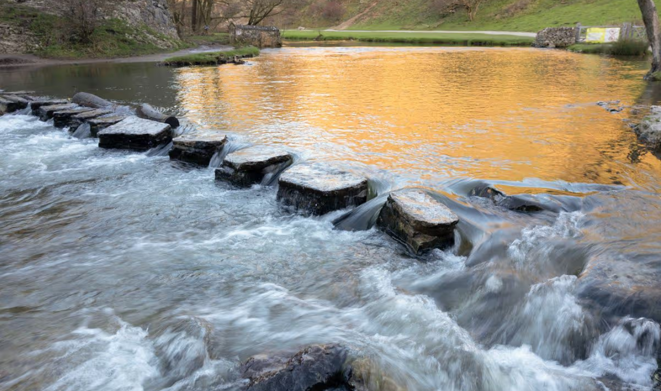
The Dove management catchment stretches east of Stoke‑on‑Trent from the uplands near Buxton down to just north of Burton upon Trent. It includes a mix of small towns and rural communities such as Leek, Cheadle, Ashbourne, Uttoxeter, Hilton and Tutbury. The River Dove rises on Axe Edge and flows south‑east through changing landscapes before joining the River Trent, moving from fast‑flowing headwaters into wider lowland floodplains.
This area contains numerous surface waterbodies and a high concentration of protected habitats, including SSSIs (Sites of Special Scientific Interest), SACs (Special Areas of Conservation) and SPAs (Special Protected Areas). These support species‑rich grasslands, wetlands, woodlands and high‑quality river corridors, making the Dove an important landscape for wildlife and nature recovery.
Like many catchments, the Dove faces environmental pressures. Current issues include pollutions, invasive non‑native species such as Signal Crayfish and Himalayan Balsam, and past physical modifications that disrupt natural river processes.
The Environment Agency also highlights emerging challenges linked to climate change, including more variable river flows, increased agricultural and wastewater pressures, and the spread of invasive species.
For our Environmental Destination (ED) programme, we are focusing on a specific “area of interest” within the catchment, relevant to water company abstractions. Our focus is those surface water bodies where the public water supply companies actively abstract water or where their groundwater abstraction impacts on flow to surface waterbodies.
What are our objectives and investigations?
Understand what river flow targets and changes to water abstraction may be needed to support a healthy water environment in the Dove.
Check how well the Environment Agency’s national modelling reflects local conditions. You can view their modelling in the Modelled Abstraction Reductions – National Framework for Water Resources 2025.
Compare the national modelling with improved local data to make sure we’re getting an accurate picture of the catchment and its needs.
Explore options to improve and protect river flows, including reducing our own abstractions where necessary. We’ll also look for opportunities to work with local partners and develop Nature‑Based Solutions (NBS) that strengthen the catchment’s resilience.
Use the evidence gathered to build confidence in any future abstraction changes, helping us prioritise actions and plan a realistic timeline for making improvements.
Feed into the development of our regional plan and our member’s Water Resources Management Plans (WRMPs), which outlines how we will meet long‑term challenges such as population growth, drought, environmental pressures and climate change, while ensuring a reliable water supply. The plan is being developed alongside the Water Resources West Regional Plan, which sets out how all abstractors in the region will work together to secure water supplies over the next 60 years. The first plan was published in June 2025 and is available here: Water Resources West Final Regional Plan — Water Resources West.
Thank you for your help!
Thank you to everyone who contributed to the Dove workshop held on 15 June 2026 at Longsdon Memorial Hall. Your local knowledge, practical experience, and on‑the‑ground perspectives were invaluable in helping us build a more informed and accurate understanding of the catchment.
Once we have incorporated all of your insightful feedback we will play this back to you in the Autumn.
Until then here are the slides that we shared at the workshop:
If you would like to know a bit more about the data we are using for these investigations, below are the data sources we have used:
EA catchment data explorer: England | Catchment Data Explorer
Provides data used by EA in River Basin Management Plans
EA Environmental Destination Catchment Summaries: Catchment Summaries | Environmental Destination - Get involved! | Engage Environment Agency
Information to help understand the water resources challenge in local catchments
Modelled Abstraction Reductions - National Framework for Water Resources 2025: Modelled Abstraction Reductions - National Framework for Water Resources 2025
A spreadsheet showing a range of potential reductions to abstraction licence quantities which may be needed to meet environmental flow requirements
We would like to hear from you
Please complete the contact form below, letting us know things like: Do you want to partner with Nature Based Solutions? Are you already working on something in your area? Do you have any evidence of the catchment that you would like to share? Can you let us know the grid reference of the location you are referring to? What is your interest in the catchment? Do you have any thoughts you would like to share on our investigations?